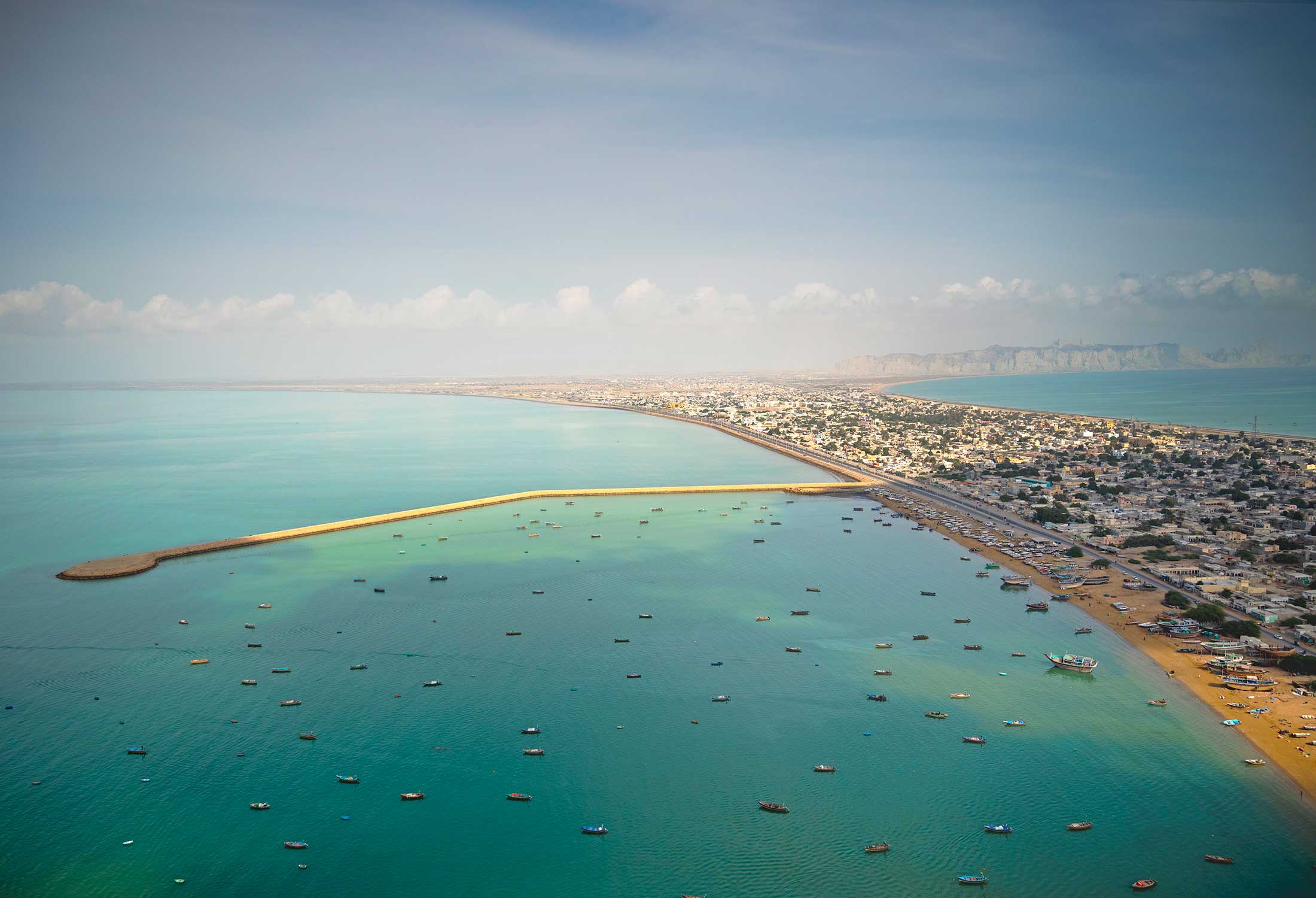
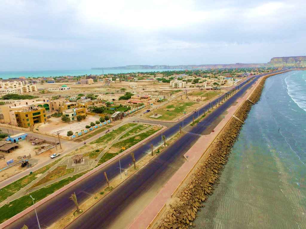
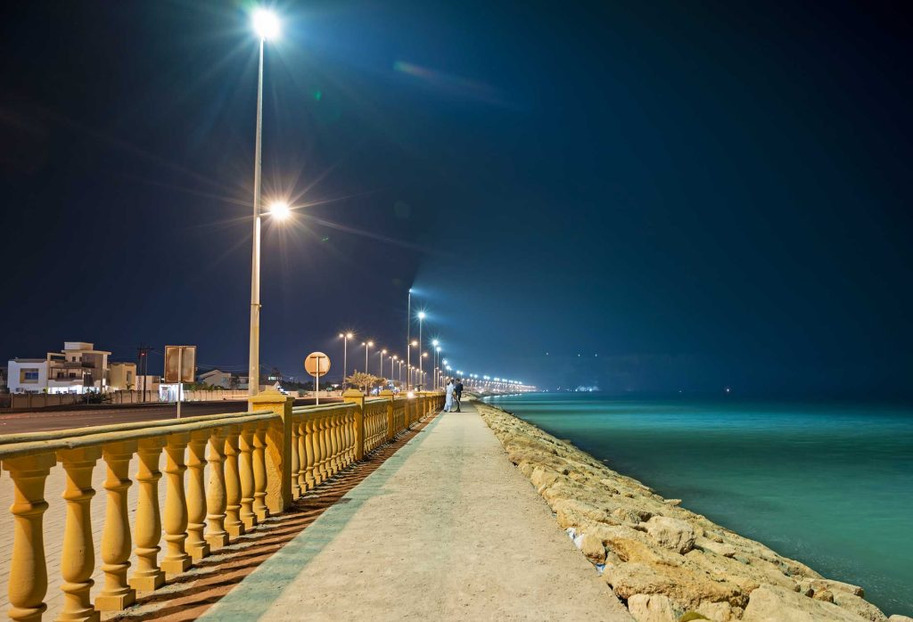
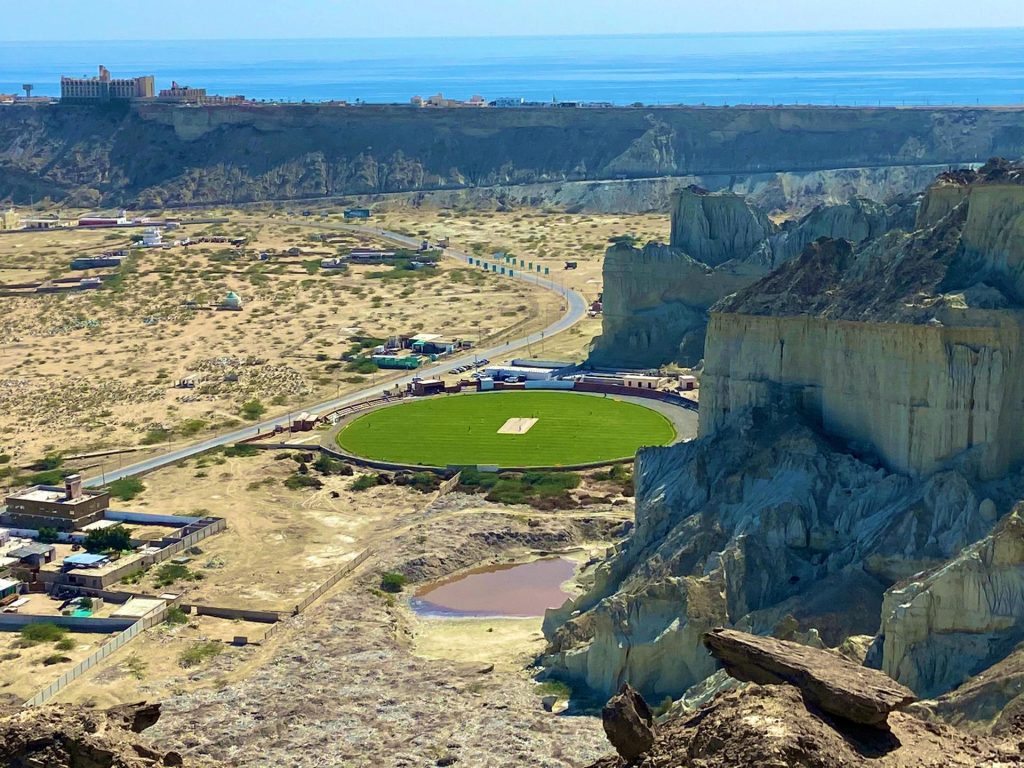
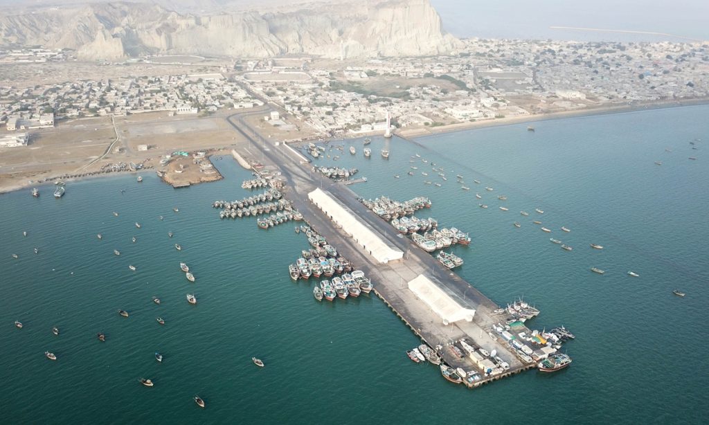
Gwadar is a district along the sea in south of the Makran. The coastline of Gwadar District is about 600 Kilometers long. Gwadar was notified as a District in July, 1977 with its headquarter at Gwadar Town. Previously it used to be a part of Makran District.
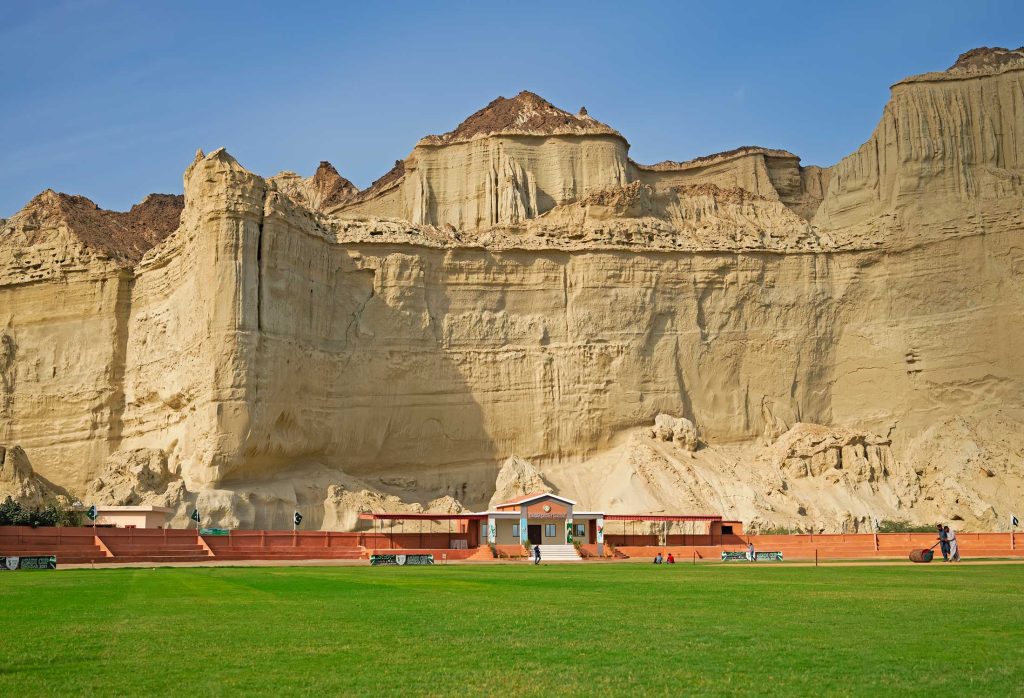
Gwadar district is located from 25`-01` to 25`-45` North latitudes and from 61`-37` to 65`-15` east longitudes. It is bounded on the North by Kech and Awaran District. On the East by Lasbela District, on the south by the Arabia Sea and on the West by Iran. Total area of the district is 12,637 square kilometers. The district comprises of Gwadar and Pasni Sub-divisions: